Greenland – Final countdown and preparations

March-April 2022

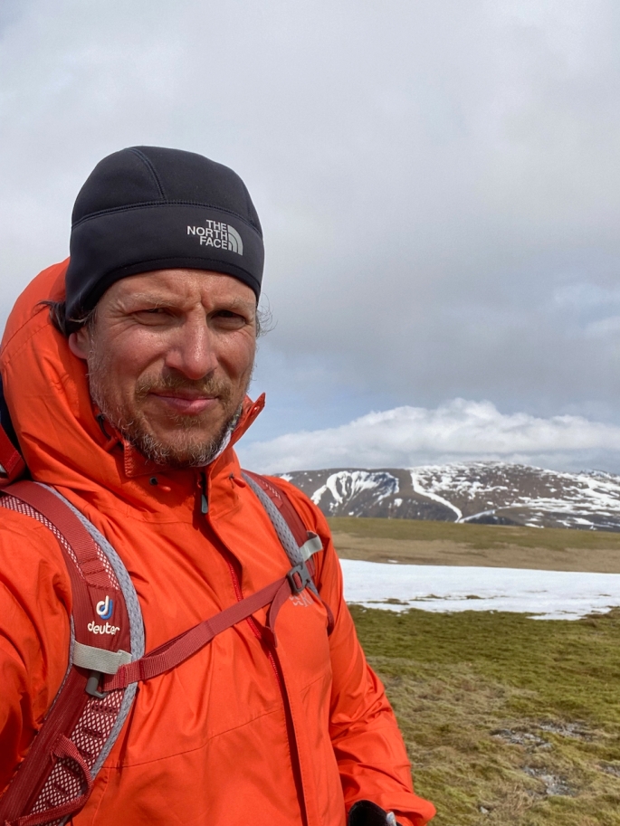
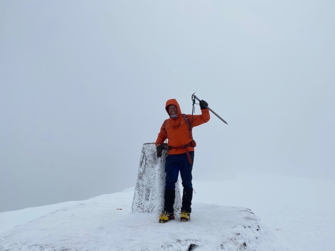
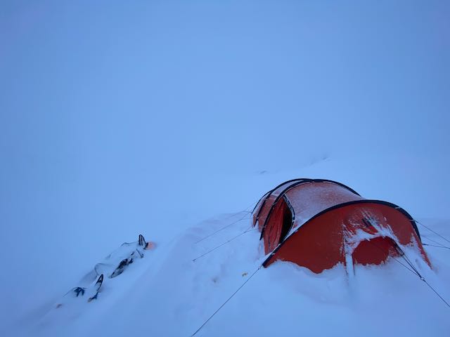
With all the fitness training over the past few months, time really did seem to fly by to the end of April when we eventually started the journey across the icecap. So long in the waiting, but still always training as much as possible to be in the best possible shape for the journey; trying to squeeze in as much as possible but not to overdo it. More mountains climbed in Scotland, plenty more tire-pulling and lots of strange looks from people. Braeriach, the third highest in the country, is always an amazing mountain to climb and is quite accessible for me from Carrbridge, and it becomes even more stunning with the snow. Also, an opportunity to climb Ben Nevis in winter could definitely not be missed and it was nice climbing the UK’s highest mountain in cool and lovely conditions.

Before we knew it, the time had come. 25 April: Inverness to London, to Copenhagen. 26 April: Copenhagen to Kangerlussuaq. Always that anxiety about whether the bags would come through–imagine that! One flight to Kangerlussuaq every couple of days… no, it was too terrible to think about…! Fortunately they all came through and no problems. It was great in Copenhagen with the hotel being next to the airport – could take the trolley from the airport all the way into the hotel room; not seen that before! Quite a change from Oslo when there are barely any trolleys at the main railway station!

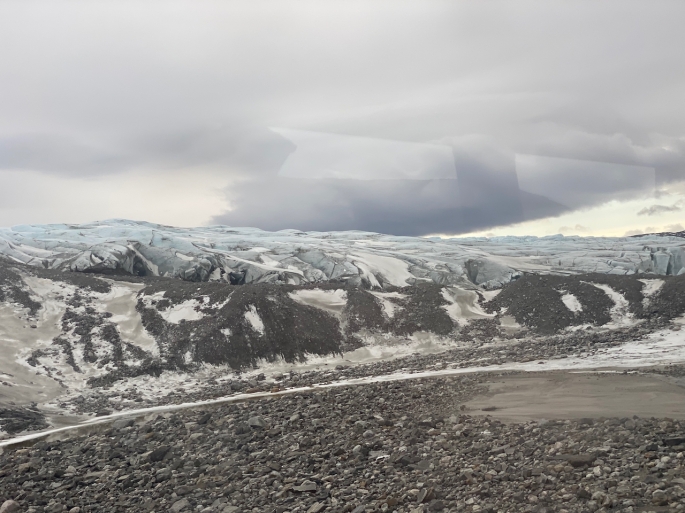
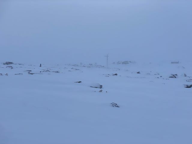
We had one night in Kangerlussuaq to organise all of our supplies for the next four weeks, splitting everything into weekly bags and sorting out the pulks. Had a bit of a scare when realised that I didn’t have my mountaineering harness, which we need for going through crevassed areas. Almost a disaster, though fortunately we we were able to find one from a local guide – such a relief! Then that was it… just a bus ride to the bottom of the glacier on a gloomy and overcast early afternoon of 27 April, and we were off…

Traveling through whiteouts

Some of the most intense days when skiing on the Hardangervidda plateau were spent skiing through whiteout conditions. Whiteouts are when you can’t tell the difference between the snow beneath your skis and the sky. Whiteouts are not necessarily blizzards, and indeed, blizzards are often incorrectly called whiteouts. More often you will be travelling over the snow through fog or cloud. You might be able to see dark objects like rocks in the terrain, but that will be about it. Travelling through a whiteout is like travelling through limbo: you feel like you are moving yet going nowhere. Nothing seems to change. There are no shadows and there is no contrast. It can be disorientating and strangely claustrophobic at the same time. If you’re not prepared, it can be dangerous, no matter where you are.

Skiing through such conditions can be tricky enough even on flat snow as navigation becomes much harder. If you are lucky, there will be some rocks, and you can use them to help with the navigating, though these can easily disappear from view, behind a small hill or in even denser cloud. The rocks can be deceptive as well as you have no sense of scale; they might be small rocks close to you or larger rocks further away. There could easily be a few small hills or large snowdrifts between you and the rocks as well, but you won’t know until you reach them because they are covered in snow so are indistinguishable from anything else. You will need your compass and GPS – even better if you got a compass mount so you can have the compass extended in front of you without having to hold it in your hands, so you can constantly see your heading. Failing that, if there is wind, you will feel the direction from which it is coming in general. Then you can use that as a navigational support: if you’re heading north and you have an easterly wind, for example, keep it so it’s hitting you from the right.

Going up or downhill, or across sastrugi where the wind has cut through the snow to create those amazing ice sculptures beneath your feet, is even trickier. Especially with an 80kg sled behind you. Yes, you will have your compass and GPS, and you will know your general heading. But the maps will only show so much; the contours will most likely measure 20 metre differences in the terrain but nothing more detailed. Snowdrifts and slight dips and small mounds aren’t shown and you can’t keep looking at your GPS anyway, especially as battery is a consideration. Even when armed with your heading, any undulations through the snow will be invisible. It is impossible to see where the snow is steepest and work out the best route up. You might be struggling up a steep climb one moment, inching your way up, but then you suddenly come to a dip in the snow and before you know it, you are skiing down into a small dip. Maybe a frozen rock pool or hidden stream beneath the snow or some other feature. And your sled hurtling down the slope behind you…

I found myself slowly zig-zagging my way up and down the hillsides, especially with the sled being pretty heavy. Keep calm and keep breathing. Judge the feeling of the snow beneath the skis, the pull of the sled on the harness getting heavier and lighter as the terrain changed. The general balance and feel. It was slow, often painful, and challenging–especially when the snow got really deep–and there were points when it just seemed the climb would never end; going into that endless white void.

But then it gets flat again and you realize that the hardest parts are behind you and that you managed it. And you keep going.